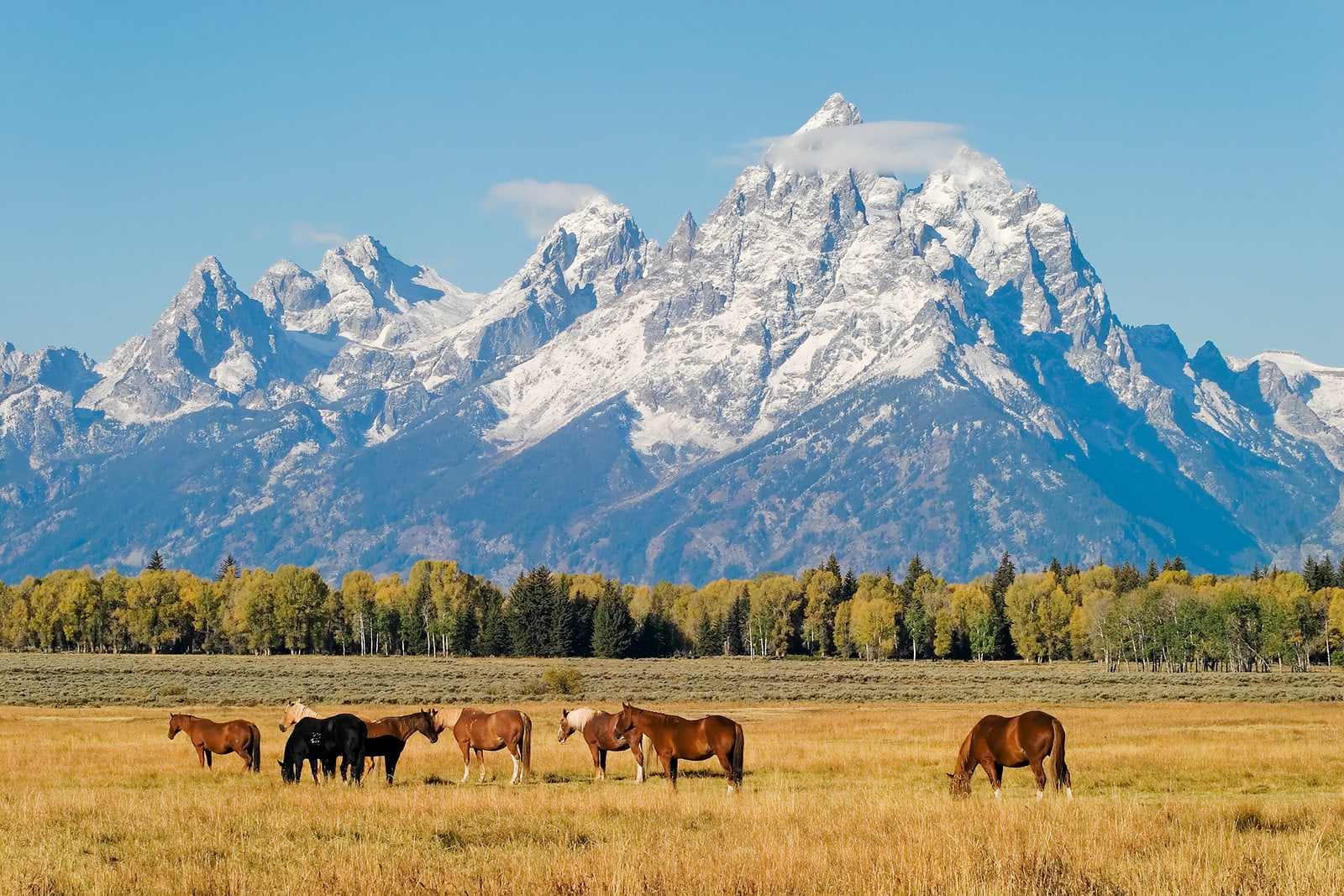

Wyoming has a more diverse landscape than non-natives often think from prairielands to mountain ranges to lush forest regions. With a fairly low population density, most of the landscape is full of natural beauty and unscathed by man. There are numerous national and state parks to explore and sites of historical significance. With so many choices of parts to explore, it can be difficult to settle on just one route to forge a more intimate connection with the state. We suggest trying one – or even all – of these Wyoming scenic drives to get to know the region better:
No. 10 – Happy Jack Road
Starting Location: Cheyenne, WY
Ending Location: Laramie, WY
Length: 50 miles
Best Season to Drive: All
See this drive on Google Maps
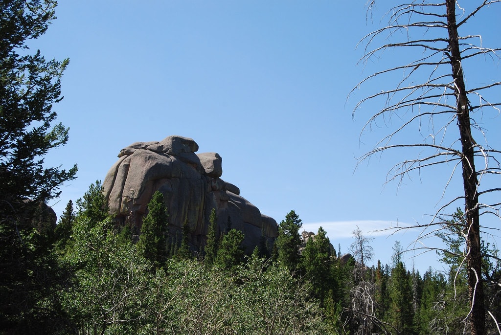
Wyoming Highway 210, also known as Happy Jack Road, is a favorite among motorcyclists for it smooth roads and ever-changing scenery. The drive begins passing through sweeping ranchlands dotted with towering windmills but soon enters verdant forests with thriving moose populations. Stop at Curt Gowdy State Park if you need to stretch your legs on the trails or just stop and enjoy the stillness of nature.
No. 9 – Snowy Ridge and Woods Landing Loop
Starting Location: Saratoga, WY
Ending Location: Saratoga, WY
Length: 223 miles
Best Season to Drive: All
See this drive on Google Maps
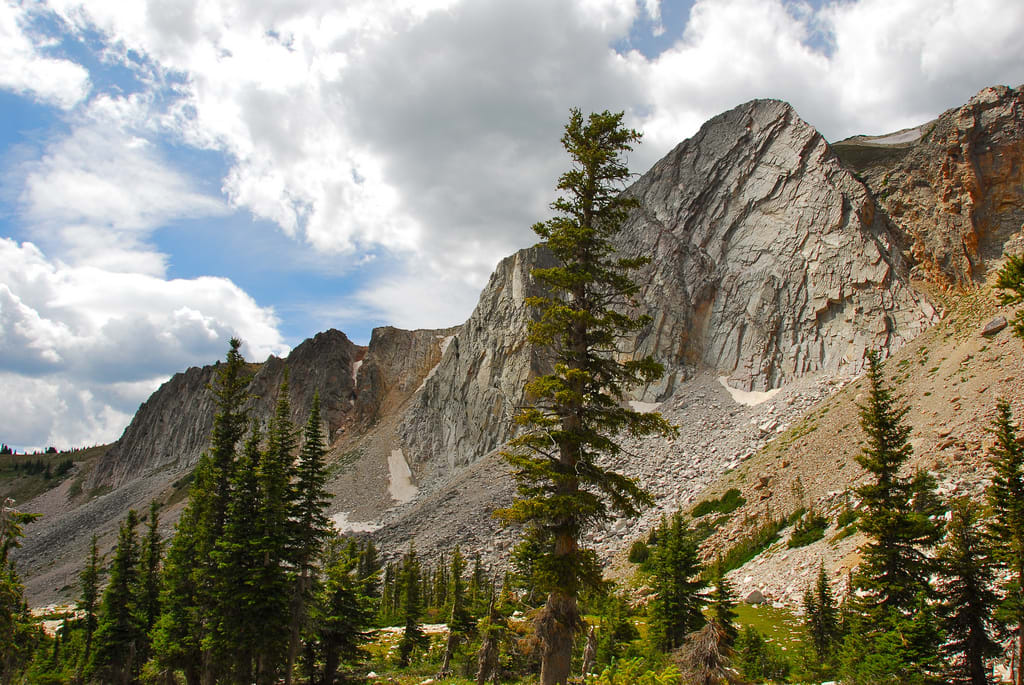
Passing over the Snowy Mountain Range in the Medicine Bow National Forest and past Woods Landing on its way over the Colorado border for a short while, a variety of terrain delights the eyes of those on this route. Be sure to stop at the observation area at the 10,600-feet above sea level Libby Flats for awesome views and photos. Medicine Bow Peak is another must-see, and there are several camping areas and hiking trails nearby.
No. 8 – Route 34: Laramie to Wheatland

Starting Location: Laramie, WY
Ending Location: Wheatland, WY
Length: 77 miles
Best Season to Drive: All
See this drive on Google Maps
Full of mountain views and rocky outcroppings, this drive is full of visual interest and chances to unleash your inner photographer. It’s also not uncommon to spot buffalo from the road and other species of wildlife. With lots of curves, drivers must stay on their proverbial toes, but the views are reward enough for the effort on this tranquil trip with little to light traffic.
No. 7 – Wyoming Route 313
Starting Location: Chugwater, WY
Ending Location: La Grange, WY
Length: 30 miles
Best Season to Drive: All
See this drive on Google Maps
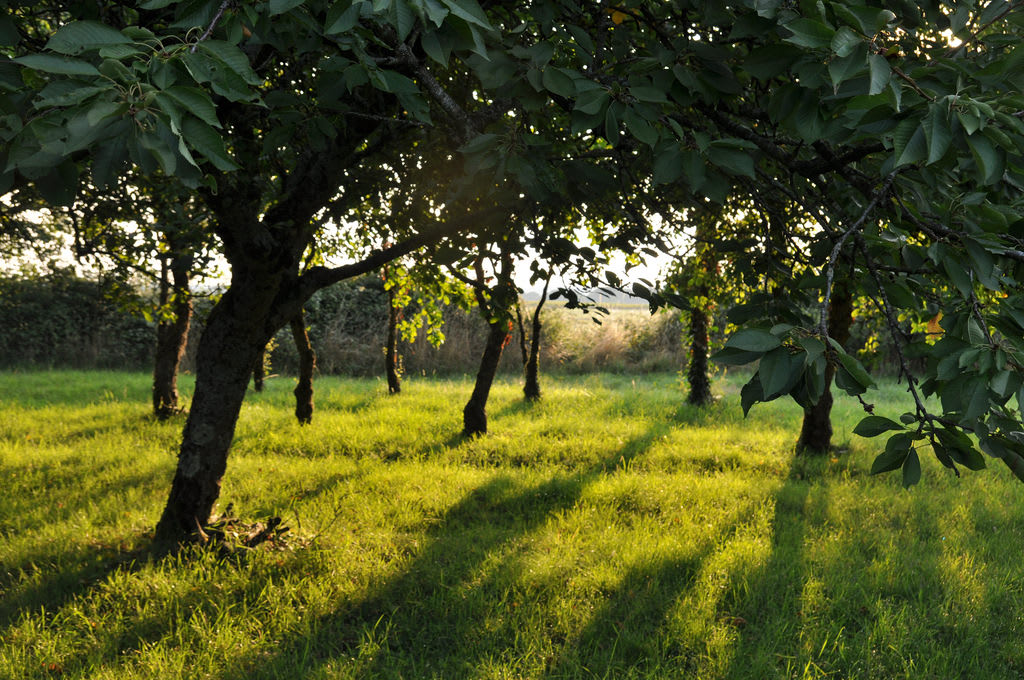
Showcasing wide open spaces spattered with ranches, farms, and periodic orchards, this leisurely drive can soothe any soul. Before starting off, check out the Chugwater Soda Fountain, known for its old-fashioned shakes and malts to fuel your belly before the trip. Also, a portion of the route abuts the Lone Tree Canyon, which offers stunning views and photo opportunities.
No.6 – Wind River Canyon
Starting Location: Shoshoni, WY
Ending Location: Thermopolis, WY
Length: 32 miles
Best Season to Drive: Spring
See this drive on Google Maps
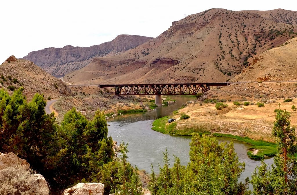
As this route twists with the Wind River along the canyon of the same name, the elevation constantly fluctuates down to depths of 2,500 feet. Outdoorsy folks will want to stop at the Wind River Canyon Whitewater & Fly-fishing Outfitter, the only outfitter that can raft or fish in all parts of the area, including those within Indian reservations. Boysen State Park is another good stop for hiking trails or a picnic spread.
No. 5 – Devil’s Tower
Starting Location: Devil’s Tower, WY
Ending Location: Belle Fourche, WY
Length: 43 miles
Best Season to Drive: All
See this drive on Google Maps
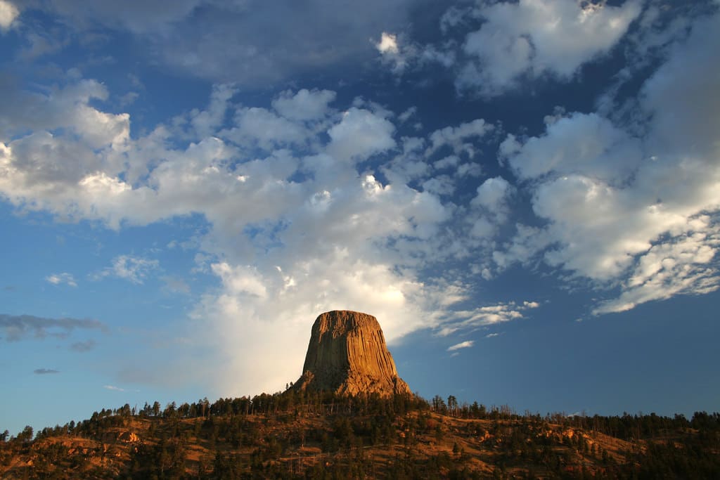
Beginning at Devil’s Tower National Monument, a 60-million-year-old and 867-foot butte created from cooled lava, this route starts with incredible scenery. While the monument is the highlight of the trip, there are plenty of other sights worth seeing on the way to Belle Fourche, where travelers may choose to continue on the highway to the Black Hills National Forest in South Dakota. The scenery changes relatively quickly from the age-old formation to grasslands and, finally, to a forest of ponderosa pines.
No. 4 – Yellowstone National Park

Starting Location: Mammoth, WY
Ending Location: Mammoth, WY
Length: 140 miles
Best Season to Drive: Spring, Summer, and Fall
See this drive on Google Maps
Yellowstone National Park, established in 1872 around the Yellowstone Super Volcano, is known throughout the world for its stunning beauty and range of wildlife. This loop takes travelers by all the main highlights, including the Old Faithful Geyser and Firehole Lake. There is no shortage of trails to explore, and a schedule of walking tours and park events is available in the Visitors Center.
No. 3 – Bighorn Canyon Loop
Starting Location: Yellowstone, WY
Ending Location: Cody, WY
Length: 264 miles
Best Season to Drive: Spring, Summer, and Fall
See this drive on Google Maps
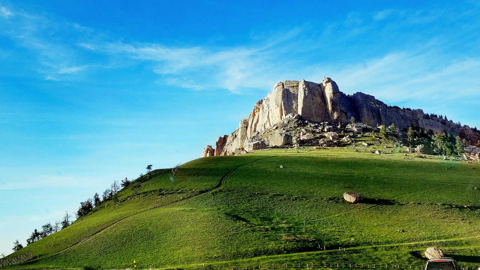
This scenic drive begins outside Yellowstone in Buffalo Bill’s old stomping grounds then slingshots around the Big Horn and Shell Canyons for panoramic views. Much of the ride also passes through the Shoshone National Forest, ensuring a wide variety of landscapes on display. In Lovell, take time to explore the Pryor Mustang Center, where you can spy wild horses in their natural habitat.
No. 2 – Grand Teton Loop

Starting Location: Moose, WY
Ending Location: Moose, WY
Length: 44 miles
Best Season to Drive: Spring, Summer, and Fall
See this drive on Google Maps Note that this route may not load due to road closures in winter.
The Teton Mountain Range may be known for its jagged and majestic peaks but it also home to a wide array of wildlife. These 2.5 million old mountains are full of everything from large moose and elk to pseudo-little beavers and muskrats, so the opportunity to watch nature in action there abounds. Scenic overlooks seem to be at every turn to entice budding photographers, and the String and Jenny Lake Trails, which cover 6.5 miles, should delight more athletic types.
No. 1 – Beartooth Highway

Starting Location: Park County WY
Ending Location: Cody, WY
Length: 34 miles
Best Season to Drive: Summer and Fall
See this drive on Google Maps
The Wyoming portion of the Beartooth Highway is known as being one of the most scenic drives around, and it doesn’t take long to be convinced of its truth. It passes through mountains and gorges for unparalleled panoramic views, and much of the remainder is characterized by rolling hills with willow trees breaking up the horizon and networks of creeks. The hike to Lake Creek Waterfall is especially nice, and the photo opportunities are incredible from the nearby footbridge.


