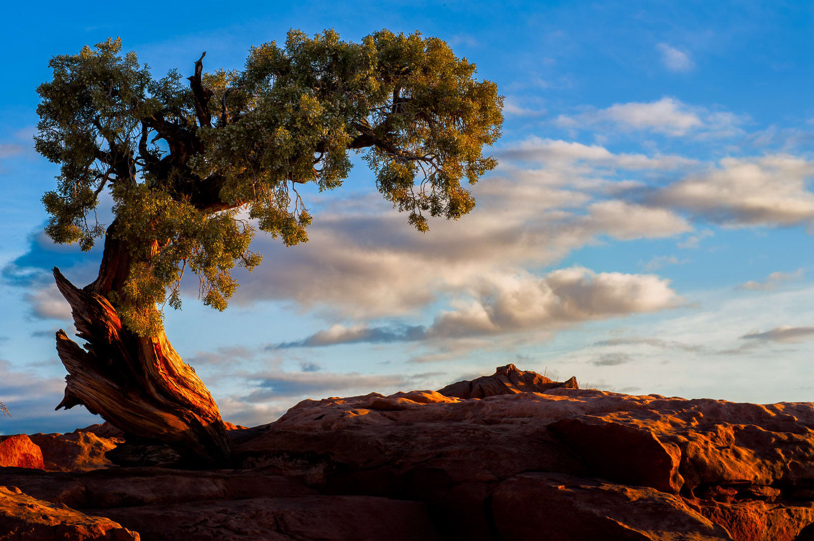

Utah is a state with a landscape not quite like any other that varies widely from place to place. At times, travelers find desert expanses that periodically turn into scenes that seem plucked from an abstract work of art with geological formations sporting colors rarely seen and shapes that boggle the mind. There are other scenes not so far away that seem from an entirely side of the planet with lush forests and strong river flows. It takes time to form a full impression of such a vast and nuanced area, so consider beginning your exploration with one of our most-loved Utah scenic drives:
No. 10 – Bicentennial Highway
Starting Location: Hanksville, UT
Ending Location: Blanding, UT
Length: 122 miles
Best Season to Drive: Spring, Summer, and Fall
See this drive on Google Maps
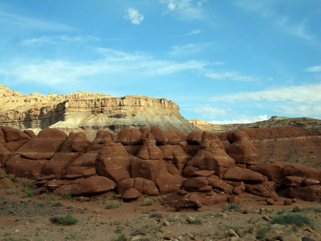
With mountains and sandstone rock formations all around, there’s always something fascinating to behold on this drive between Hanksville and Blanding. Athletic travelers may enjoy the steep four-mile hike up to Mount Ellen near the Lonesome Beaver Campground. Everyone on the trip, however, can appreciate viewing the Natural Bridges National Monument, three majestic natural sandstone bridges, which you can learn more about at the nearby Visitor Center.
No. 9 – Scenic Byway 12

Starting Location: Panguitch, UT
Ending Location: Fruita, UT
Length: 141 miles
Best Season to Drive: All
See this drive on Google Maps
On this drive passing through both Bryce Canyon and Capitol Reef National Parks, expect a plethora of recreational opportunities and stunning views. The scenes in Bryce Canyon change according to the time of day you are there with the changing direction of light greatly varying the hues in the cliffs and various geological wonders. Just past the town of Escalante, don’t miss the Escalante Petrified Forest with its hiking trails through towering petrified trees.
No. 8 – SR 313 to Dead Horse Point

Starting Location: Moab, UT
Ending Location: Moab, UT
Length: 23 miles
Best Season to Drive: Spring, Summer, and Fall
See this drive on Google Maps
This drive through desert plateau on the way to Dead Horse Point State Park is full of views of distant cliffs. There are interesting rock formations all around, which are not so uncommon in Utah, with especially vibrant colors to dazzle the eye. Once in the park, there are tons of hiking trails to choose from, and the visitors’ center can fill travelers in on the area’s rich history as a spot where cowboys would round up wild mustang horses.
No. 7 – Huntington-Eccles Canyons Scenic Byway
Starting Location: Huntington, UT
Ending Location: Colton, UT
Length: 76 miles
Best Season to Drive: All
See this drive on Google Maps
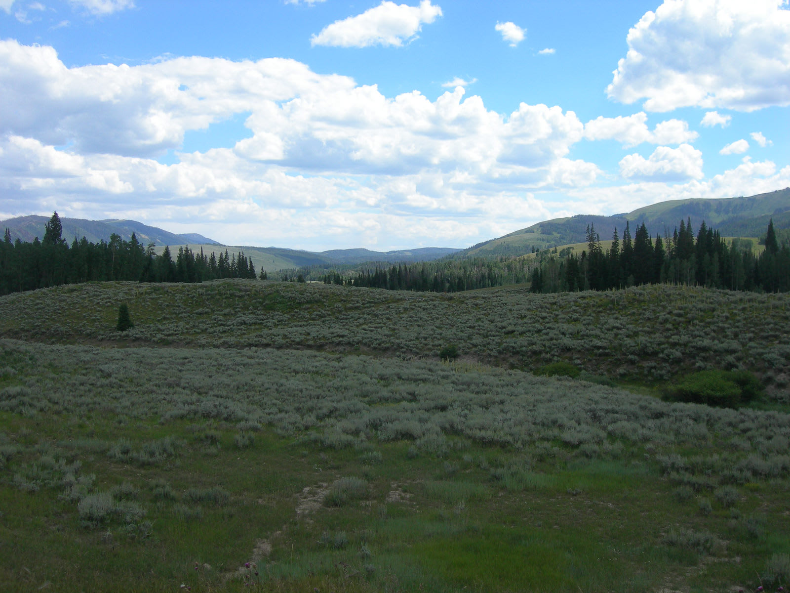
There are always spectacular rock formations near in Utah, but this drive showcases another side of the state (although there are still plenty of rocky marvels). This route goes through a region rich in coal-mining and railroad history, but a favorite attraction on the way - the Cleveland-Lloyd Dinosaur Quarry with countless fossilized bones – dates back even further to the prehistoric era. Anglers should stop at Electric Lake, which is known for its superior fly fishing, and there are opportunities to swim or boat there as well.
No. 6 – Flaming Gorge-Uintas Scenic Byway
Starting Location: Manila, UT
Ending Location: Vernal, UT
Length: 63 miles
Best Season to Drive: All
See this drive on Google Maps
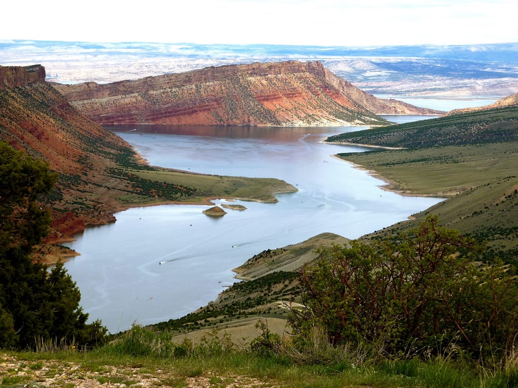
Enjoy the impressive atmosphere formed by meeting of the Uinta Mountains and Sheep Creek Canyon on this laid-back drive primarily through the Ashley National Forest. There is no shortage of scenic overlooks for taking photos, and visitors with a little time to spare should stop at Swett Ranch, a working ranch run by the US Forest Service that also has nearby water recreation at Flaming Gorge Reservoir. In Vernal, visit the National Dinosaur Monument, one of the most prolific spots for finding fossils of these long-gone giants.
No. 5 – Trail of the Ancients
Starting Location: Montezuma Creek, UT
Ending Location: Bluff, UT
Length: 32 miles
Best Season to Drive: Spring, Summer, and Fall
See this drive on Google Maps
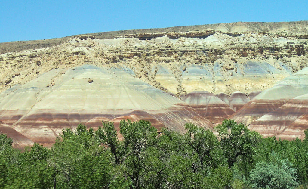
There are two primary things that make the Trail of the Ancients drive incredible – colorful rocky scenes rarely seen in nature and its preservation of bits from the ancient Anasazi people who once inhabited the area. Stop at Hovenweep National Monument to see some of the Anasazi structures that date between 450-1300 AD. There are also camping sites nearby for those who want to experience the open air of this region beneath the stars.
No. 4 – Zion Canyon Loop
Starting Location: Cedar City, UT
Ending Location: Cedar City, UT
Length: 146 miles
Best Season to Drive: Spring, Summer, and Fall
See this drive on Google Maps
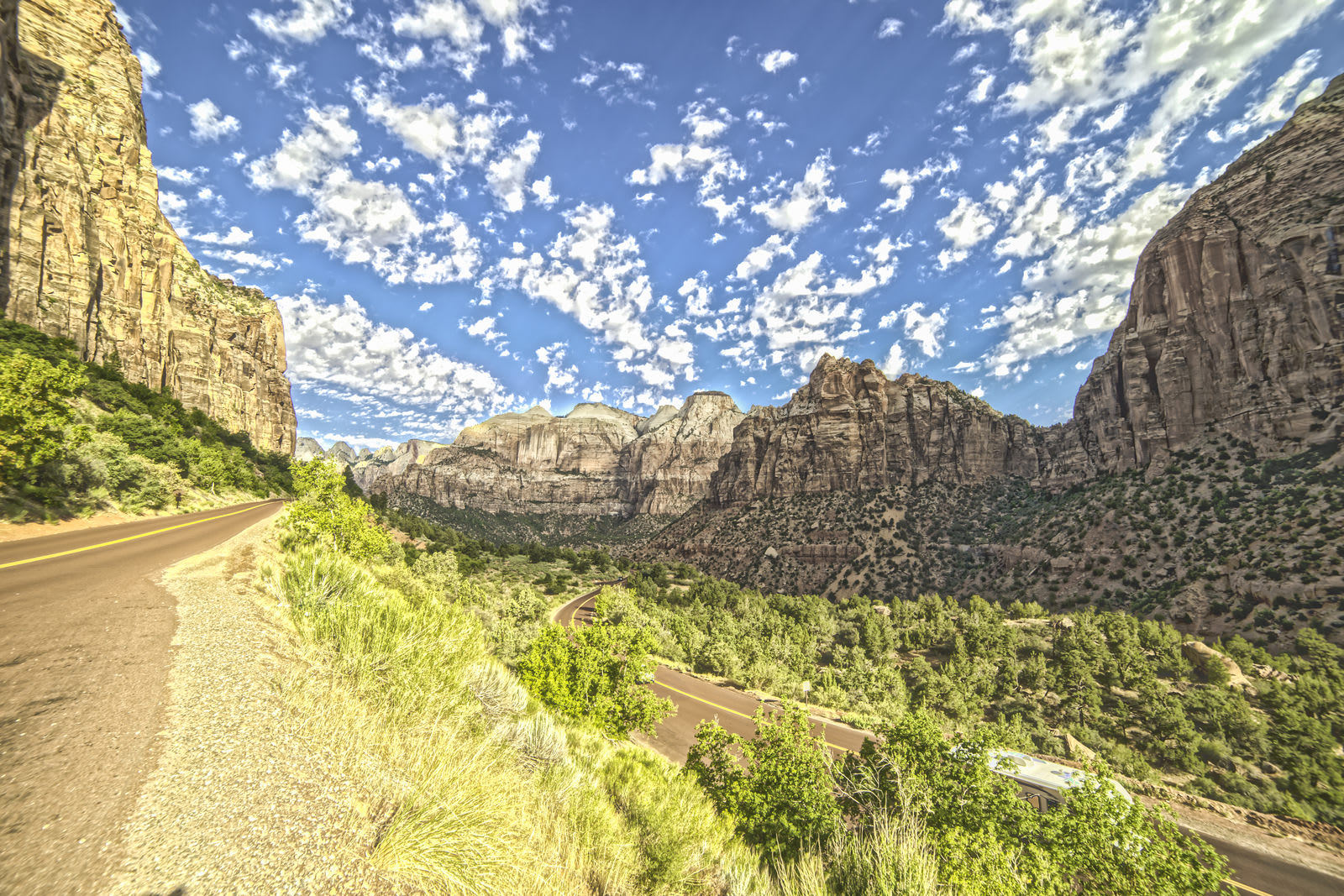
This loop through the Zion Canyon graces travelers with an astounding scene full of monoliths stretching toward the sky, colorful cliffs, and ancient lava outcroppings in sight but just out of reach. Visit the three-mile natural amphitheater formed by thousands of years of erosion at Cedar Breaks National Monument. Don’t miss the chance to hike a bit in Snow Canyon State Park to see its petroglyphs and array of desert vegetation up close.
No. 3 – Colorado River Scenic Byway

Starting Location: Moab, UT
Ending Location: Cisco, UT
Length: 47 miles
Best Season to Drive: All
See this drive on Google Maps
Much of this drive goes through Canyonlands National Park, a region known for its amazingly beautiful canyons, buttes, and mesas. The Green and Colorado Rivers divide the park into four main regions, each with its own unique landscape, so take time to explore them all. Arches National Park is another must-see place with over 2,000 natural arches and sculptures to view.
No. 2 – Logan Canyon Scenic Byway

Starting Location: Logan, UT
Ending Location: Garden City, UT
Length: 39 miles
Best Season to Drive: Spring, Summer, and Fall
See this drive on Google Maps
For less arid terrain than that found in much of the state, this drive through Logan Canyon and beside Logan River puts a softer landscape on display. The road winds through the Wasatch-Cache National Forest with lots of scenic overlooks and hiking trails to explore. Toward the end of the trip, consider a dip in the refreshing turquoise waters of Bear Lake in the summer months or try your hand at catching fish year-round.
No. 1 – Monument Valley
Starting Location: Oljato-Monument Valley, UT
Ending Location: Mexican Hat, UT
Length: 21 miles
Best Season to Drive: All
See this drive on Google Maps
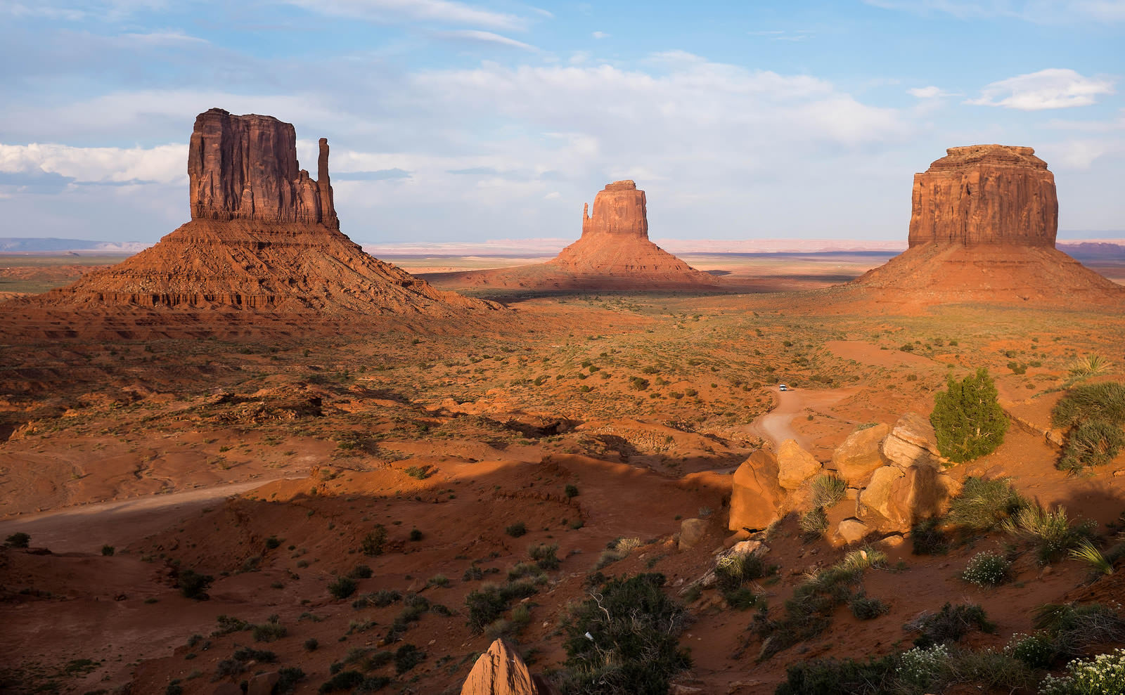
The otherworldly rock formations of Monument Valley are some of the most jaw-dropping sights in the world, and it is impossible not to feel overwhelmed in their presence. It is well worth getting a tour from a Navajo guide at Monument Valley Navajo Tribal Park to learn more about how the landscape was formed over thousands of years and about the people who once called this region home. Hikers may want to explore a bit on their own on the popular 3.2-mile Wildcat Trail, which follows around the West Mitten Butte.


