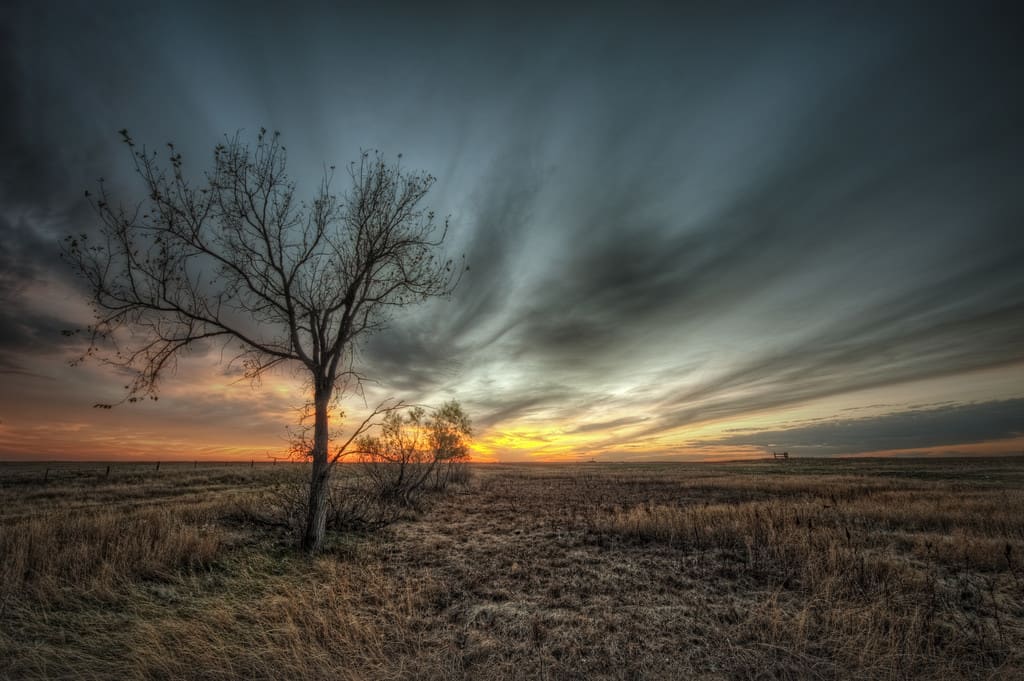

South Dakota may not get a lot of play outside of seeing Mount Rushmore as a tourist destination, but that doesn’t mean there isn’t an array of recreational opportunities and scenic views. It just means the state’s most treasured areas aren’t overrun with visitors, and the landscape is virtually unspoiled. The state’s geography can roughly be divided into whether it’s the woods, mountains, and Badlands west of the Missouri River and the rural towns and grasslands to the east. Begin your own exploration of this fascinating region with one of our beloved South Dakota scenic drives, and you’ll soon understand why this area is so dear:
No. 10 – Route 12

Starting Location: Bowdle, SD
Ending Location: Milbank, SD
Length: 155 miles
Best Season to Drive: All
See this drive on Google Maps
Although northeastern South Dakota isn’t known for its tourism, this drive through the region showcases sleepy small towns, big sky, and expansive lands. Aberdeen is one of the larger towns on the route and is worth a stop to see the restored 1926 Capitol Theatre, which has played host to events with big names like Kevin Costner and Graham Green in attendance. Waubay Lake is another nice place to explore with opportunities to test the waters by boat, wriggling toes, or fishing pole.
No. 9 – Grand River National Grassland

Starting Location: Reva, SD
Ending Location: Lemmon, SD
Length: 78 miles
Best Season to Drive: Spring, Summer, and Fall
See this drive on Google Maps
Much of this trip through the Grand River National Grassland passes through the Cheyenne River Indian Reservation, but that only makes the drive more interesting with cultural appeal. From a geographic perspective, however, this area is particularly varied in its terrain with mixed-grass prairielands, sandy dunes, sandstone outcroppings, and green ash draws. There are prime camping spots with nearby swimming and fishing along the shores of Shadehill Reservoir.
No. 8 – Cross-Country South Dakota 34

Starting Location: Sturgis, SD
Ending Location: Flandreau, SD
Length: 383 miles
Best Season to Drive: All
See this drive on Google Maps
To see a little bit of everything South Dakota has to offer, it doesn’t get better than this drive cross-state along Route 34. From woodlands to craggy rocks to sweeping prairies to rivers, travelers this way see it all with plenty of places to stop and explore when the need hits to stretch their legs. An array of small towns present the opportunity to tour historic structures, including the old railroad town of Woonsocket’s 1800s bank turned hotel.
No. 7 – South Dakota 44
Starting Location: Winner, SD
Ending Location: Rapid City, SD
Length: 202 miles
Best Season to Drive: All
See this drive on Google Maps
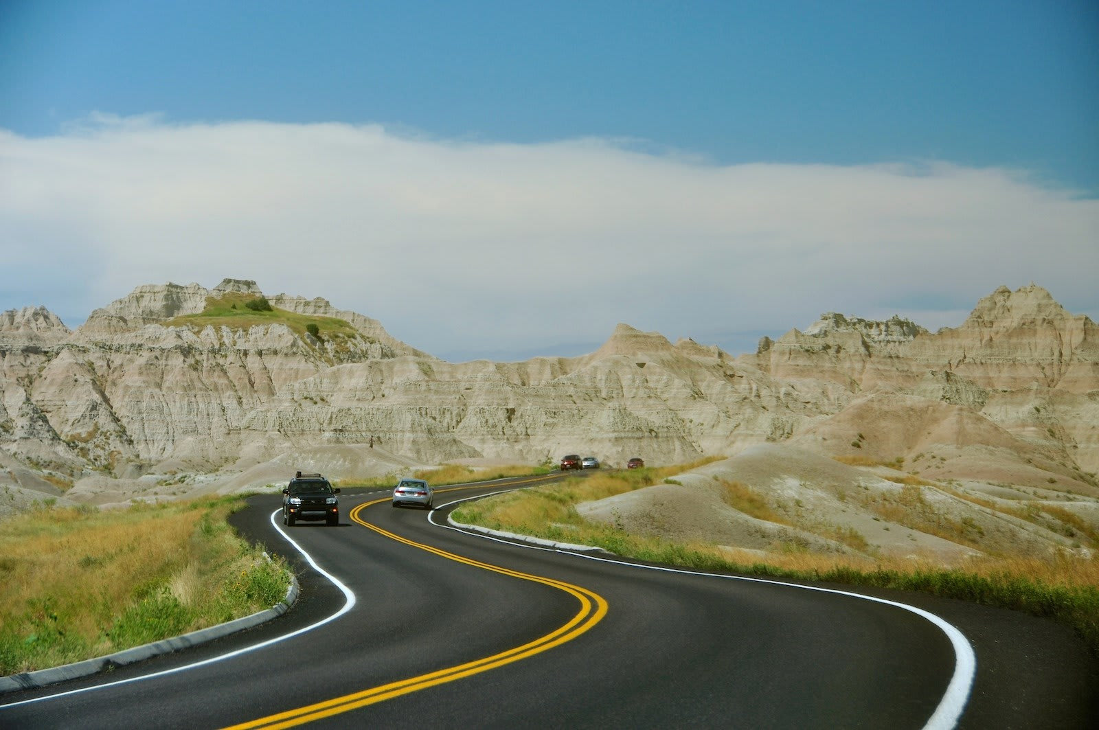
This route from Winner to Rapid City is an ideal way to see what western South Dakota is all about because it passes through examples of all terrain that characterize the region. Huge rolling hills, the rock formations of the Badlands, twisting rivers full of fish, and an abundance of wildlife make for a stunning drive. The small yet charming towns of Interior and Scenic are the only real opportunities for fueling up on the way, so be sure to keep an eye on the gas gauge and stop as needed, and kiddos may enjoy the Dinosaur Park in Rapid City at the end of the trip.
No. 6 – Spearfish Canyon State and National Scenic Byway
Starting Location: Spearfish, SD
Ending Location: Savoy, SD
Length: 14 miles
Best Season to Drive: Spring, Summer, and Fall
See this drive on Google Maps
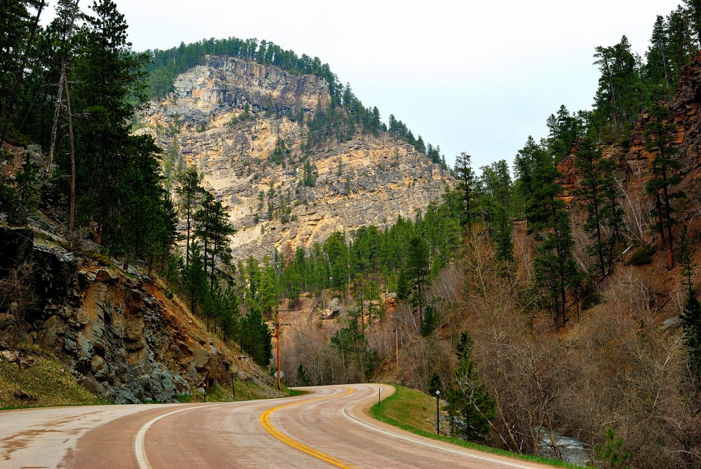
As travelers pass by limestone cliffs and wind along with the Spearfish Creek at the bottom of the canyon of the same name, spectacular views abound. Be sure to take photos from the viewing platform of the 60-foot-tall cascading Bridal Veil Falls, where there are also some trails to stretch your legs. Stop just about anywhere along the creek for prime fly fishing opportunities, although you may have to jockey for a spot due to the area’s popularity among anglers.
No.5 – Wildlife Loop State Scenic Byway

Starting Location: Custer, SD
Ending Location: Custer, SD
Length: 31 miles
Best Season to Drive: Spring, Summer, and Fall
See this drive on Google Maps
This loop beginning and ending in Custer isn’t the only way to tour Custer State Park, but it is certainly one of the more interactive means. As the road winds through hills, prairie flats, and red-hued canyons, a diverse array of wildlife comes into view, including bison, bighorn sheep, and elk. Near the southeastern tip of the loop lives a group of wild burros that may seem quite domesticated as they come directly to vehicles to beg for food.
No. 4 – Badlands Loop State Scenic Byway
Starting Location: Cactus Flat, SD
Ending Location: Wall, SD
Length: 39 miles
Best Season to Drive: All
See this drive on Google Maps
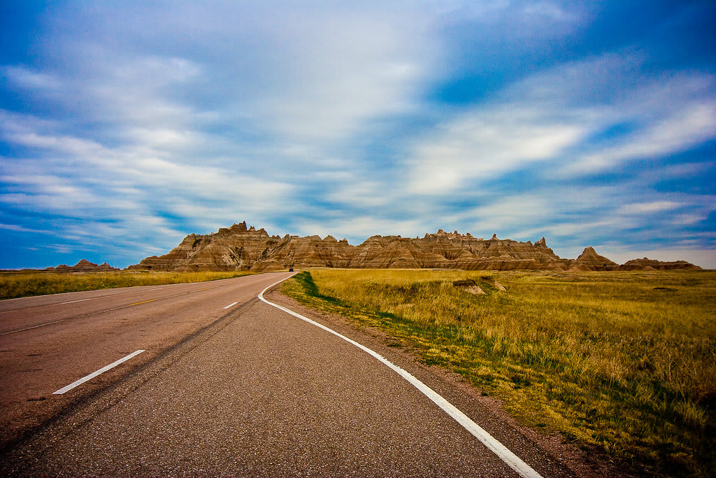
Passing by the characteristic rock formations and sweeping grasslands of the Badlands, travelers this way will want to savor every leg of route and stop at several of the nearly 30 scenic overlooks on the way. The Ben Reifel Visitor Center near the Cedar Pass Lodge provides interesting background on the region. From there, take a walking detour of one of the many hiking trails or participate in one of the ranger-led programs.
No. 3 – Mount Rushmore and the Badlands
Starting Location: Custer, SD
Ending Location: Cactus Flat, SD
Length: 123 miles
Best Season to Drive: Spring, Summer, and Fall
See this drive on Google Maps
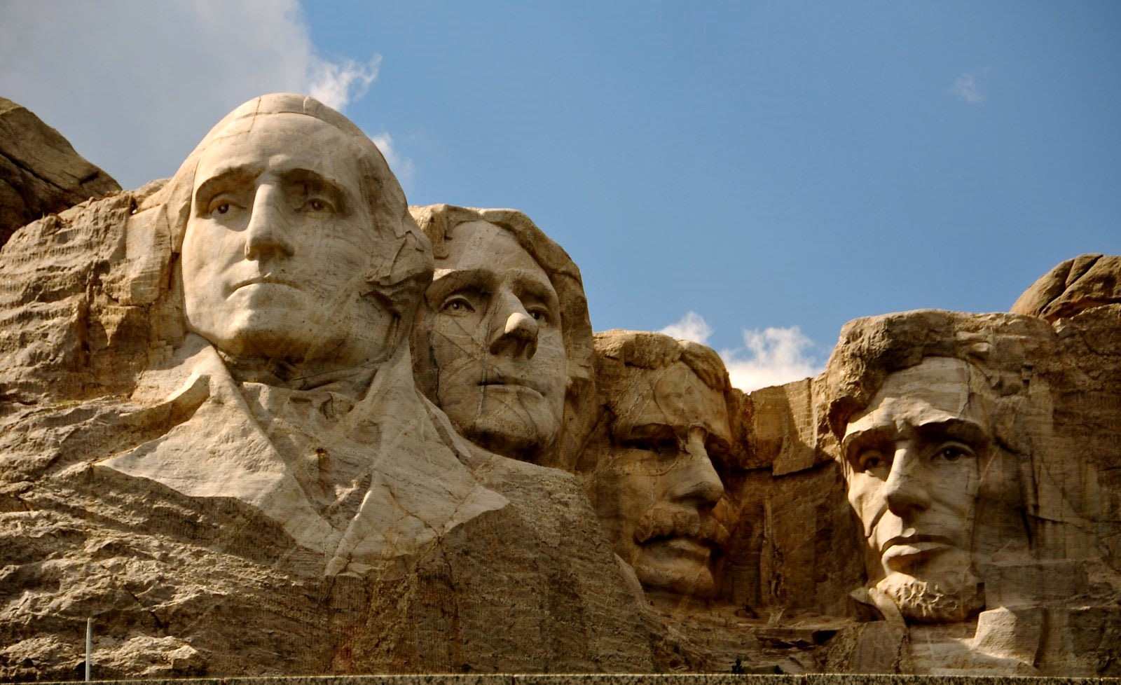
The drive from Custer State Park, past Mount Rushmore, and through the Badlands is one that can easily take a day or two with so much to see and do. Water recreation abounds in the beginning portion of the route with Center Lake being a good place to stop to fish or rent a boat. Mount Rushmore National Memorial is an essential stop shortly after the Norbeck Overlook, and Robert Prairie Dog Town is fun for all ages with its little prairie dogs scampering around in their natural habitat.
No. 2 – Native American National and State Scenic Byway

Starting Location: Yankton, SD
Ending Location: Kenel, SD
Length: 363 miles
Best Season to Drive: All
See this drive on Google Maps
Snaking along with the Missouri River, this route passes through a region rich in Native American History, beginning with the Chief Standing Bear Bridge. The landscape is dominated by rolling hills covered in mixed-grass prairie lands that are the natural habitat for bison, pronghorn, and prairie dogs. For more information about the tribal history of the region, stop at the Akta Lakota Museum in Chamberlain or the H.V. Johnston Lakota Cultural Center in Eagle Butte.
No. 1 – Black Hills National Forest

Starting Location: Belle Fourche, SC
Ending Location: Custer, SC
Length: 90 miles
Best Season to Drive: Spring, Summer
See this drive on Google Maps
Although this scenic drive begins in the rural farming communities of Belle Fourche, the landscape soon changes to verdant woods covering the mountains and valleys of the Black Hills National Forest. Since the region is known for its gold ore deposits, stop at the Homestake Gold Mine Visitor Center to learn more about the area’s mining history and to tour a mine that operated for 120 years until 2001. To explore another valuable resource – the Black Hills’ natural beauty – the Lake Sheridan Lake Recreation Area is a good place to hike a trail or work on a tan on its sandy beaches.


