

Exploring northern California is especially exciting because the region is home to an impressively wide variety of terrain, ranging from sandy beaches to tall, rugged mountains. The possibilities for day trips or weekend getaways consequently abound. Whether winding through wine country, traveling along the California coastline, or gaining altitude in the Sierra Nevada Range tickles your fancy most, there’s a scenic drive tailor made for you. Check out our top ten picks for picturesque routes – some short enough to spend an hour and others lengthy enough to leisurely spend a few days – and see which ones pique your interest:
No. 10 – Ebbett’s Pass Scenic Byway
Starting Location: Arnold, CA
Ending Location: Markleeville, CA
Length: 55 miles
Best Season to Drive: Spring, Summer, and Fall
See this drive on Google Maps
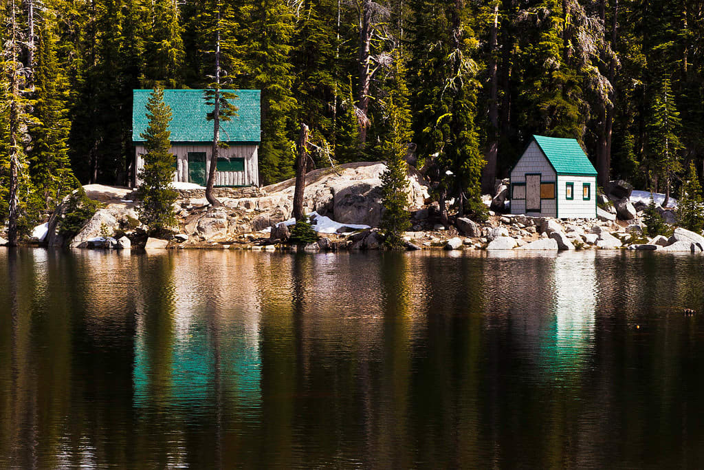
This approximately one-hour drive cuts straight through the Stanislaus National Forest, which is full of old growth trees, and winds through mountainous terrain with a top elevation of 8,730 feet. Along the way, travelers pass such points of interest as Lake Alpine, Cape Horn Vista, and Mosquito Lakes. Toward the end of the drive, the road runs parallel along the East Fork of the Carson River, which is known for its superior trout fishing.
No. 9 – Ancient Bristlecone Scenic Byway
Starting Location: Big Pine, CA
Ending Location: Patriarch Grove, CA
Length: 36 miles
Best Season to Drive: Spring, Summer, and Fall
See this drive on Google Maps
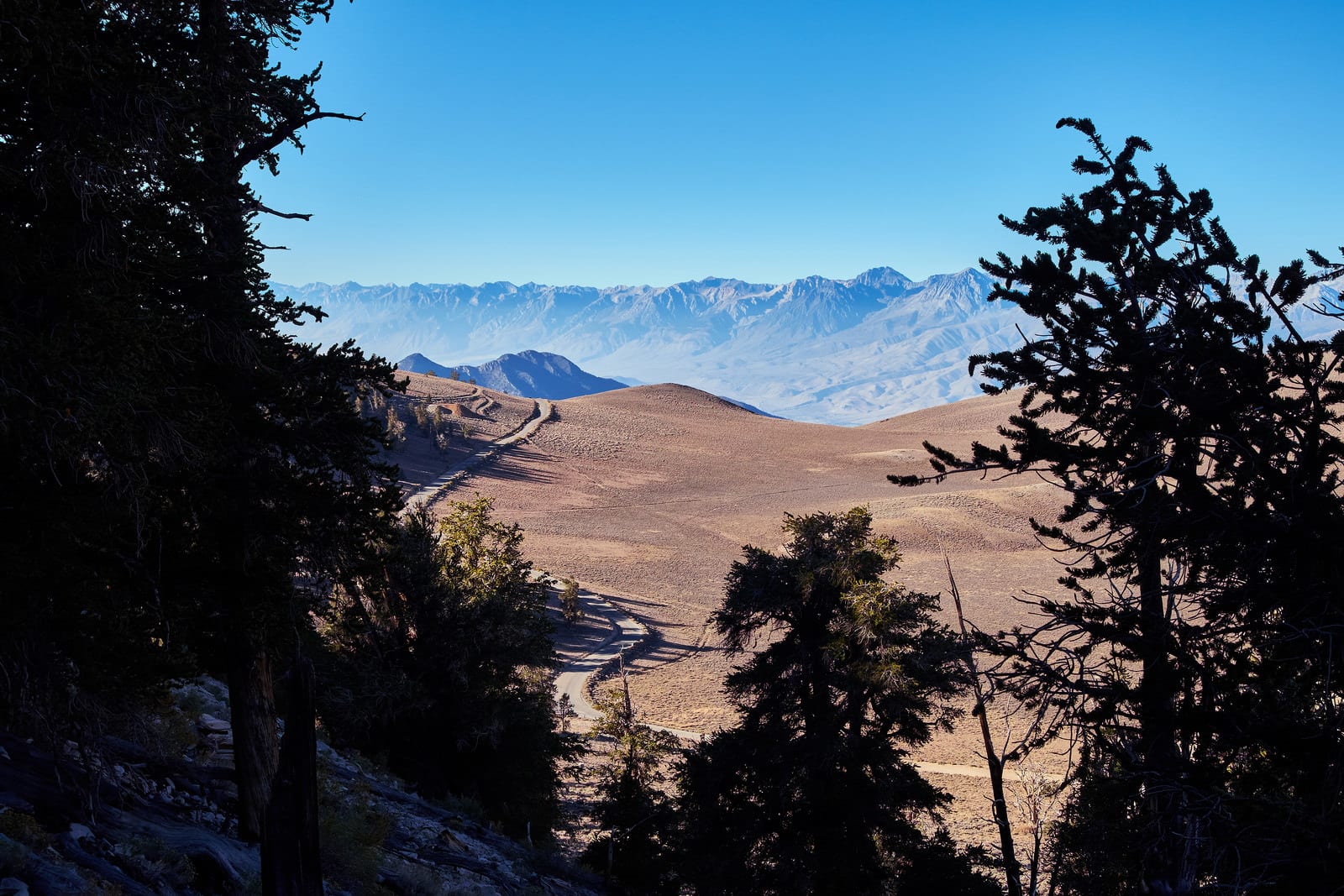
The Ancient Bristlecone Scenic Byway, also known as White Mountain Road, follows CA 168 and FSR 4S01 with a combination of paved and graded dirt roads. With relatively tight curves, this drive is not recommended for travelers with trailers or motorhomes, but those driving unencumbered can take in views of Great Basin and the peaks of Sierra Nevada. The primary attraction of this drive lies in the Ancient Bristlecone Pine Forest, which is home to the oldest trees known on earth.
No. 8 – Feather River Scenic Byway
Starting Location: Oroville, CA
Ending Location: Marysville, CA
Length: 367 miles
Best Season to Drive: Spring, Summer, and Fall
See this drive on Google Maps
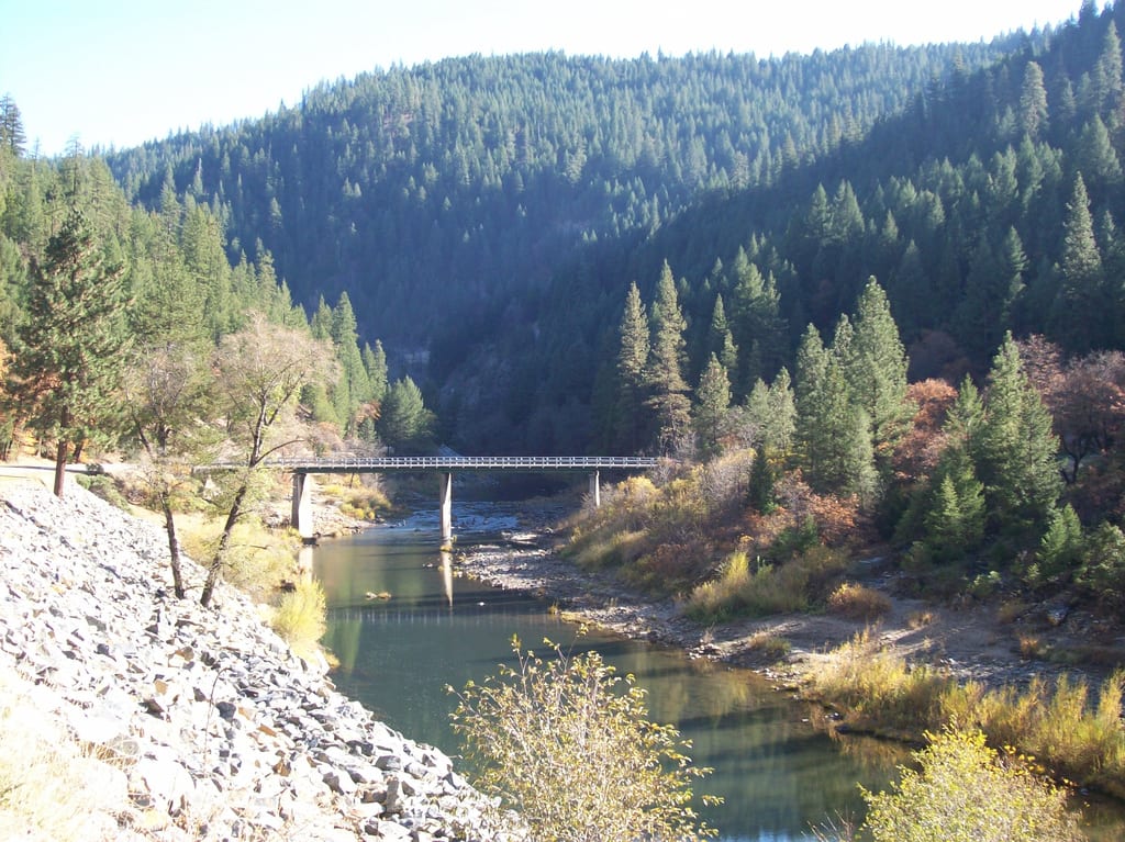
It takes nearly seven hours to take in all the Feather River Scenic Valley has to offer, which makes it a great choice for a day trip. As the only pass in the Sierra Nevada range that is still open to cars, it affords views of the Feather River and surrounding mountains that no other drive can provide. Much of it runs adjacent to the Western Pacific Railroad, which draws countless railway enthusiasts.
No. 7 – Trinity Scenic Byway
Starting Location: Arcata, CA
Ending Location: Redding, CA
Length: 140 miles
Best Season to Drive: Spring, Summer, and Fall
See this drive on Google Maps
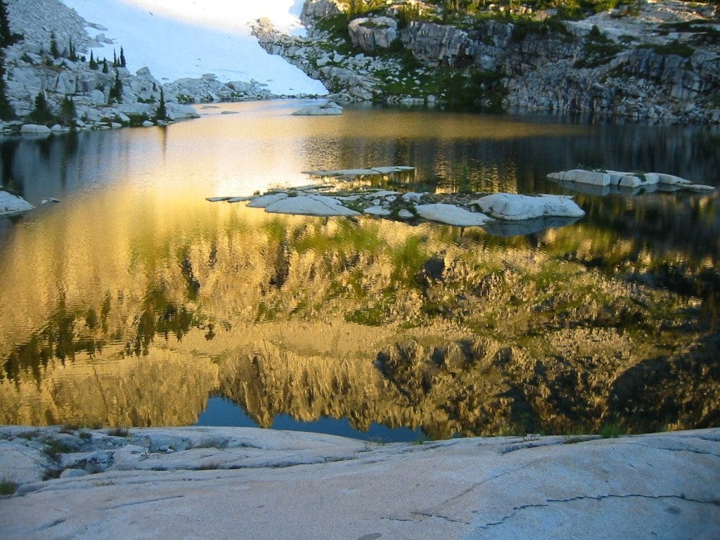
This two-lane road following CA 299 crosses the Shasta-Trinity National Forests and also passes the Trinity Alps Wilderness, which has over 60 alpine lakes and countless trails to hike. It is a great drive for fishing aficionados, with plenty of places to toss a line such as in Whiskeytown Lake. Camping grounds speckled along the way provide ample overnight lodging opportunities to break up the drive for a weekend excursion.
No. 6 – Yosemite Valley and Tioga Road
Starting Location: Oakhurst, CA
Ending Location: Mono Lake, CA
Length: 117 miles
Best Season to Drive: Spring, Summer, and Fall
See this drive on Google Maps
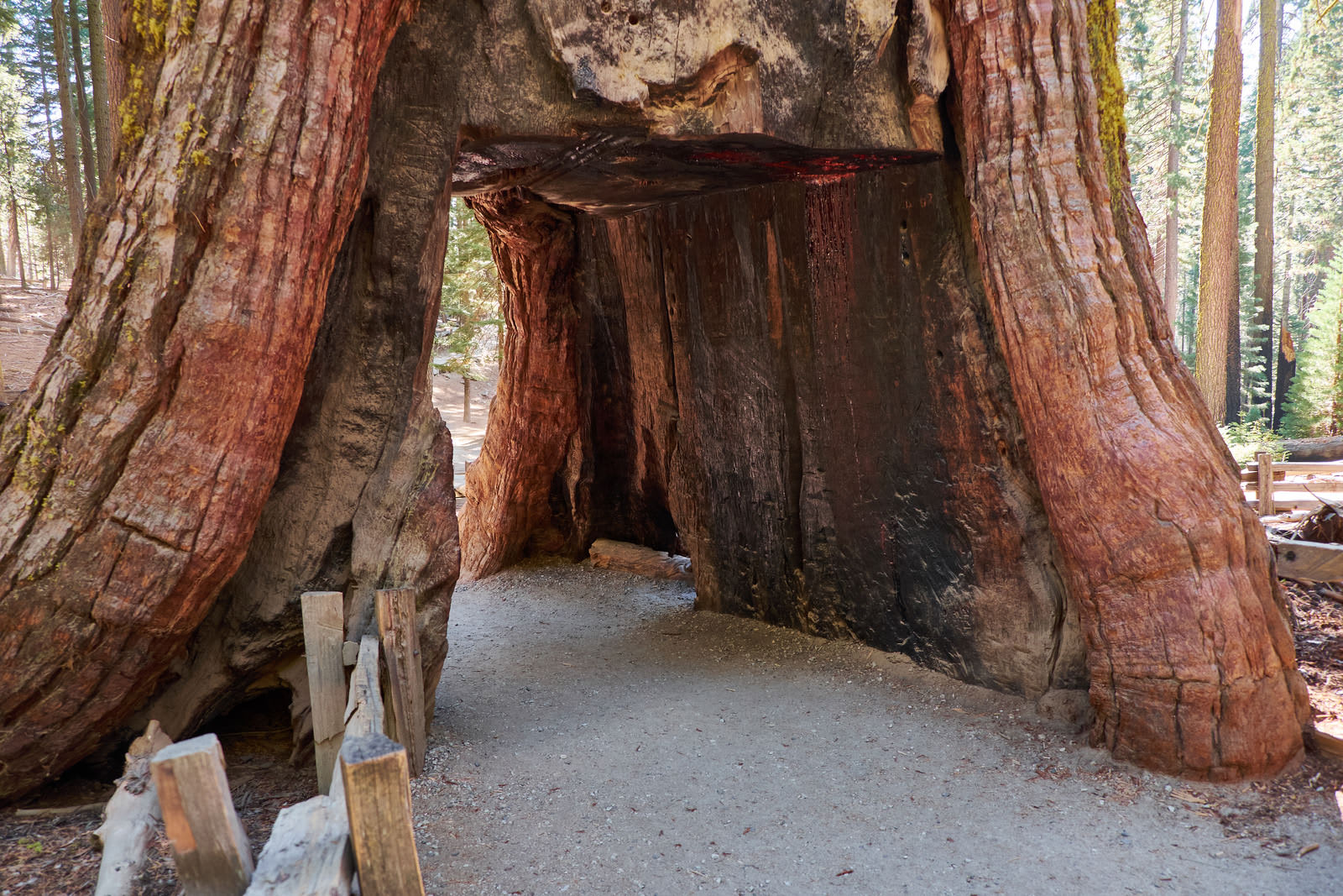
This approximately two-and-a-half hour drive begins at Yosemite National Park’s South Entrance, passing through Mariposa Grove, home to giant Sequoia trees. As travelers cut through the park, they are met with numerous views of Tenaya Canyon and Lake with plenty of opportunities to stop and hike to nearby waterfalls and other natural attractions. The trip ends at the saltwater lake of Lake Mono, which is surrounded by tufa formations and volcanic hills.
No. 5 – Silverado Trail
Starting Location: Napa, CA
Ending Location: Calistoga, CA
Length: 27 miles
Best Season to Drive: Spring, Summer, and Fall
See this drive on Google Maps
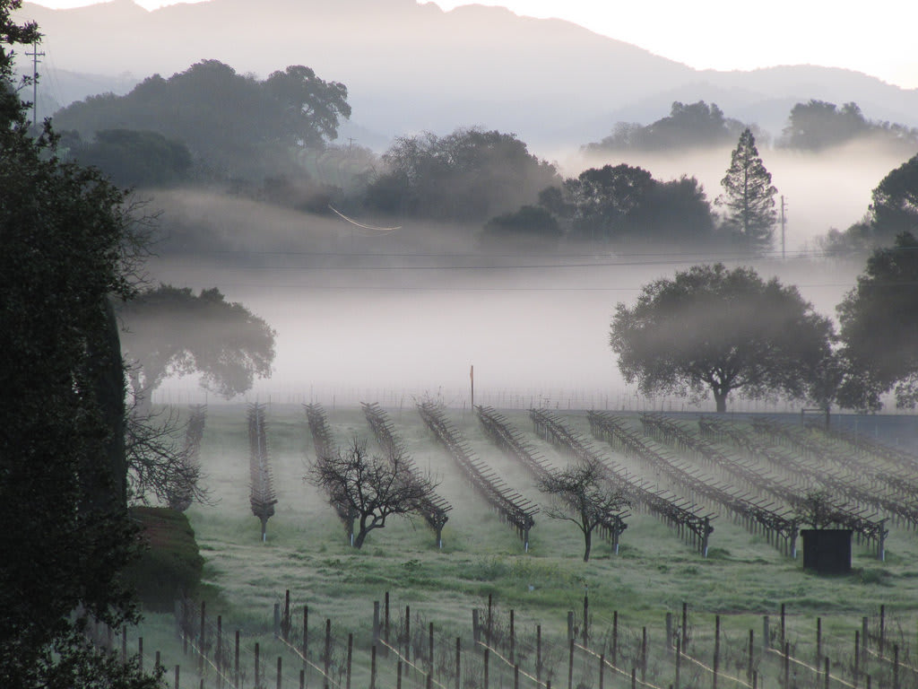
While the Silverado Trail isn’t particularly long and can be driven in just under an hour, its incredible views of the Napa Valley make it a must-drive. The road was originally built during the Silver Rush of the 1850s and winds through mountains and lush, rolling hills. Travelers can easily lengthen this trip to better savor its views by stopping at one or more of the numerous wineries along the way, or with a walk through the Napa River Ecological Reserve in Yountville.
No. 4 – Lake Tahoe
Starting Location: South Lake Tahoe, CA
Ending Location: South Lake Tahoe, CA
Length: 72 miles
Best Season to Drive: All
See this drive in Google Maps
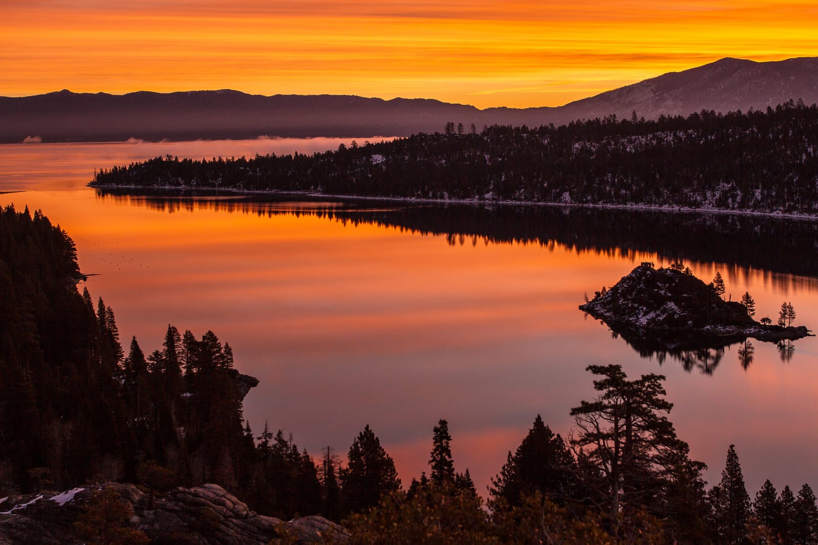
Although nearly half of this drive lies in the neighboring state of Nevada, the Lake Tahoe loop deserves mention in this list for its mesmerizing vistas overlooking some of the most crystal clear water in the country. Photo opportunities abound, including at Emerald Bay Overlook and Vikingsholm Castle. The drive also affords plenty of peeks at the nearby Sierra Nevada and Carson mountain ranges.
No. 3 – Northern Pacific Coast

Starting Location: Leggett, CA
Ending Location: San Francisco, CA
Length: 225 miles
Best Season to Drive: All
See this drive on Google Maps
This approximately four-and-a-half hour trip is ideal for a day outing and passes by the Jug Handle State Reserve, Salt Point State Park, and Muir Woods National Monument. Although much of it follows the California coastline, the drive also goes through several wooded areas with hiking opportunities. The Victorian village of Mendocino, full of galleries and high culture, is an ideal stop for art lovers, while everyone can enjoy the splendor of the Golden Gate Bridge at the end.
No. 2 – Mount Shasta-Cascade Loop
Starting Location: Redding, CA
Ending Location: Redding, CA
Length: 422 miles
Best Season to Drive: Spring, Summer, and Fall
See this drive on Google Maps
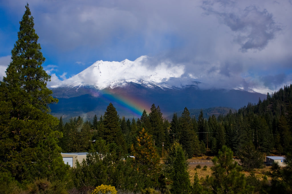
Since this picturesque loop takes over nine hours to drive, it makes an ideal weekend trip, so travelers have the opportunity to take their time enjoying not only Mount Shasta but also some of the rich volcanic history of the region. Shasta Dam, one of the United States’ biggest concrete structures, is the best spot to photograph Mount Shasta. Stopping at both the Lava Beds National Monument and Lassen Volcanic National Park are also highly suggested.
No. 1 – Redwood Highway
Starting Location: Oregon border of Hwy 199
Ending Location: Leggett, CA
Length: 193 miles
Best Season to Drive: All
See this drive on Google Maps
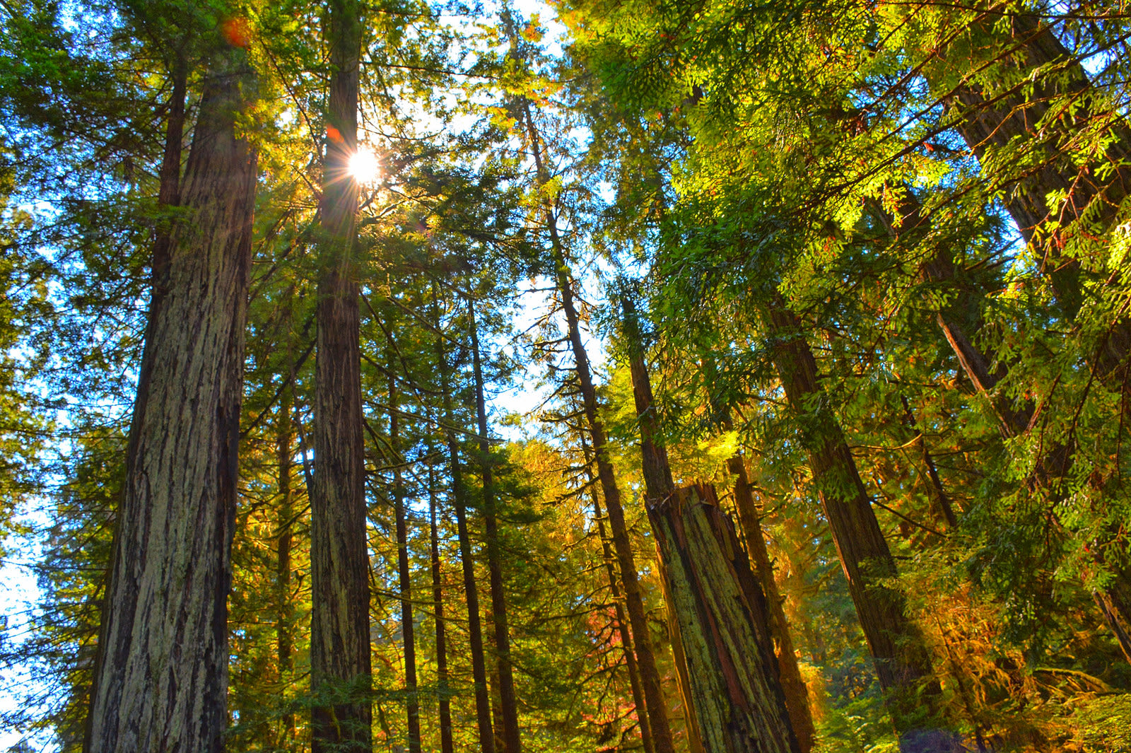
The views of the California coastline would likely be enough to place the Redwood Highway at the top of the list of most scenic drives in the region, but it’s really the Avenue of the Giants that makes it a winner. This is a 33-mile stretch, passing right through giant redwood trees that are among some of the oldest growth known to man. In the spring, travelers may also appreciate a stop at the Azalea State Reserve when the blooms are in the height of their grandeur.


