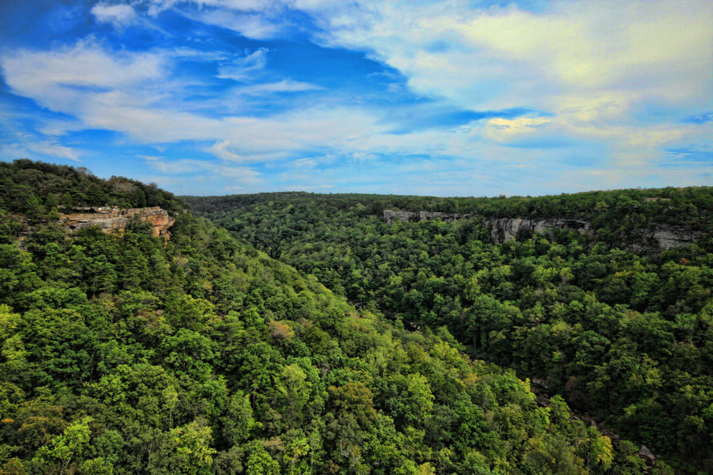

Alabama is a place rich in Southern culture and natural wonders, with terrain that varies from deep canyons to flat fields that reach as far as the eye can see. It is also full of sites of historic interest with artifacts and significance that date back to Native American tribes, or the more recent struggles for civil rights. As such, Alabama has something to delight everyone, from restaurants specializing in genuine soul food to thrilling rivers to raft or canoe. There’s even the beach for those who prefer the salt air to the pines and hardwoods of the state’s many forests. To begin your exploration of this great state, start off with one of these beloved Alabama scenic drives and go from there:
No. 10 – William B. Bankhead National Forest Tour
Starting Location: Moulton, AL
Ending Location: Jasper, AL
Length: 54 miles
Best Season to Drive: All
See this drive on Google Maps
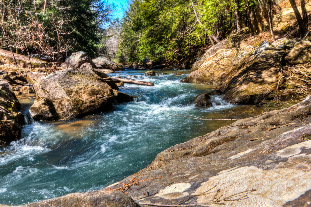
This scenic drive right through the heart of the William B. Bankhead Forest is best taken slowly to savor the natural beauty along the way. The forest is known as the “land of a thousand waterfalls,” so stopping to hike to one or two of them is a must for visitors to the area. It is also a popular place to fish or canoe, and Kinlock Shelter showcases Native American relics found in the region.
No. 9 – Devil’s Backbone
Starting Location: Cherokee, AL
Ending Location: Lauderdale, AL
Length: 33 miles
Best Season to Drive: All
See this drive on Google Maps
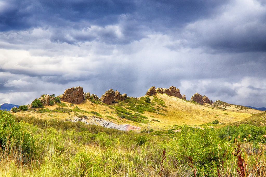
This portion of the Natchez Trace Parkway that stretches from Mississippi to Tennessee is known as the Devil’s Backbone, due to a dangerous history full of bandits, wild animals, and unfriendly natives. Today, it’s much safer to travel along the route, and travelers are rewarded with mountain views and other exquisite scenery. Stopover near the Tennessee River for a waterside meal to watch the boats and water rush by.
No. 8 – Lookout Mountain Parkway
Starting Location: Gadsden, AL
Ending Location: Mentone, AL
Length: 50 miles
Best Season to Drive: All
See this drive on Google Maps
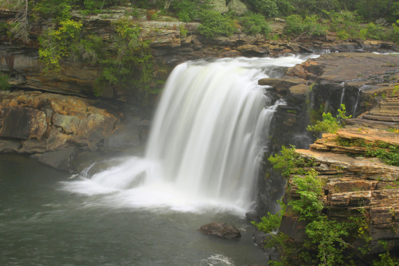
With magnificent views of deep gorges, woodlands, and waterfalls at every turn, Lookout Mountain Parkway is a favorite of locals for weekend getaways out in nature. Stop to explore the region more closely by horseback at the 4,000-acre Shady Grove Dude Ranch or hike one of the many trails around Lookout Mountain. Fisherman will delight in Lake Weiss, which is known as the “Crappie Capital of the World.”
No. 7 – Tensaw Parkway

Starting Location: Mobile, AL
Ending Location: Little River, AL
Length: 58 miles
Best Season to Drive: All
See this drive on Google Maps
The many waterways along this route give travelers ample opportunity to indulge in adventures like fishing and kayaking, or just watching boats slide by. Stop at Blakely State Park to hike the trails or watch for many of the state’s native birds and other wildlife. At Baldwin County’s Bicentennial Park, check out a 19th century working farm for a taste of what life was like in the area years ago.
No. 6 – Leeds Stagecoach Route
Starting Location: Lake Purdy, AL
Ending Location: Moody, AL
Length: 17 miles
Best Season to Drive: All
See this drive on Google Maps
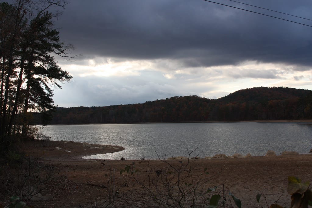
This route through Leeds began as a Native American trail, but it has played a role in other stages of the nation’s history. European missionaries with Cherokee guides once established Methodist churches along it, and it was used as a stagecoach trail in the late 1800s after it was widened. Today, visitors stop in Leeds to browse the specialty shops in the historic downtown and indulge in water activities on the Little Cahaba River.
No. 5 – Black Belt Nature and Heritage Trail

Starting Location: Meridian, AL
Ending Location: Columbus, AL
Length: 254 miles
Best Season to Drive: All
See this drive on Google Maps
The Black Belt region of Alabama earns its name from the rich black soil there that has been used for ages to grow cotton, and its culture and traditions are the epitome of the Old South. Peruse the world-famous quilts in Gee’s Bend, sample homemade candies at Priester’s Pecans, and visit the Edmund Pettus Bridge in Selma where those campaigning for civil rights traversed so often in marches. Another noteworthy place along this route is Old Cahawba Archeological Park, which chronicles Native American history in the region.
No. 4 – Barbour County Governors’ Trail
Starting Location: Clio, AL
Ending Location: Eufaula, AL
Length: 38 miles
Best Season to Drive: All
See this drive on Google Maps
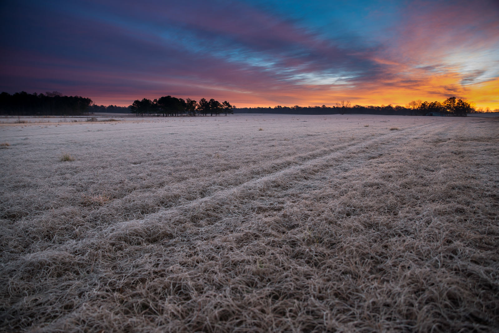
Designated in 2000 to recognize all of the state’s governors that hailed from Barbour County, this trail is known for its historic sites, farmland scenes, and recreational opportunities. For instance, visit the Octagon House, where Union troops were once headquartered. Later, indulge your inner outdoorsman at Blue Springs State Park, where camping, hiking, and water fun await.
No. 3 – Talladega Scenic Drive
Starting Location: Heflin, AL
Ending Location: Lineville, AL
Length: 30 miles
Best Season to Drive: All
See this drive on Google Maps
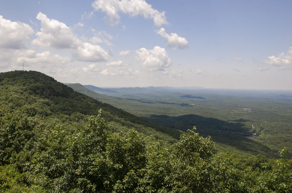
Bypass the city of Talladega with its hustle and bustle and go straight to the Talladega National Forest on this winding route. Athletic types may enjoy hiking the Pinhoti National Recreation Trail through the mountains, which are characterized by a bluish haze in the summer months from the release of condensation from vegetation in the heat. Explore Cheaha Mountain by foot or by car, where shops and restaurant wait near the summit.
No. 2 – Alabama Coastline

Starting Location: Grand Bay, AL
Ending Location: Spanish Fort, AL
Length: 112 miles
Best Season to Drive: All
See this drive on Google Maps
Ocean views are by nature impressive, but the Alabama coast has a particularly special feel with its laid-back attitude, white sand, and Deep South traditions. Watch the native wildlife and spy migratory birds in spots like Dauphin Island Audubon Sanctuary or Bon Secour Wildlife Refuge. For a dose of history and education, stop at Historic Forts Gaines and Morgan near the mouth of Mobile Bay.
No. 1 – Appalachian Highlands Scenic Byway

Starting Location: Heflin, AL
Ending Location: Fort Payne, AL
Length: 73 miles
Best Season to Drive: All
See this drive on Google Maps
This scenic byway through the Appalachian Mountains winds through verdant forests and passes by geological formations and panoramic views travelers won’t want to miss. Portions of the route are characterized by rural farmlands where fields of cotton are common. Hiking trails can be found at nearly every turn, but the paths around Cherokee Rock Village and the Dugger Mountain Wilderness Area are especially beautiful.


